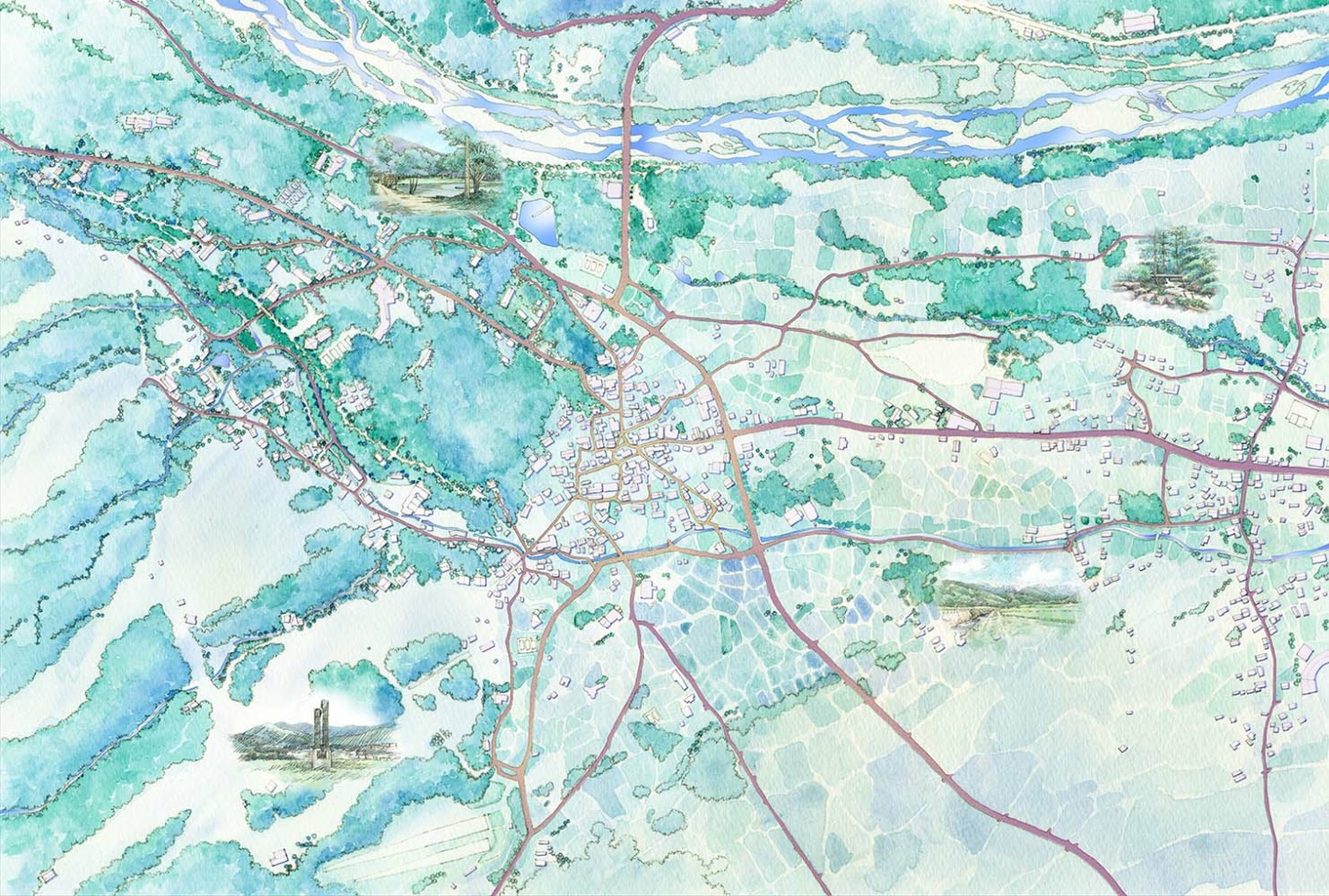
This is an illustration for a Hakuba tourist map.
The map and Google-earth are used to create the figure.
The blue-green watercolor coloring is an image of a highland plateau in summer.
Highly saturated blue are not used because they become muddy in printing.
The roads are colored in complementary color yellow ocher to reddish-brown hues.
白馬の観光マップ用のイラストです。
地図とGoogle-earthを併用して下図を起こしています。
夏場の高原をイメージして青緑系の水彩で着彩しました。
再度の高い青は印刷で濁るので使用していません。
道路は補色の黄土色から海老茶色の色相にしました。